![]() FOR IMMEDIATE RELEASE
FOR IMMEDIATE RELEASE
March 30, 2026
CONTACT: Scott Heiberger
scott.heiberger@sanfordhealth.org
715-207-1604
CONTACT: Melissa Ploeckelman Brown
melissa.ploeckelman@sanfordhealth.org
715-240-0900
New online biosecurity premises mapping tool available to livestock producers
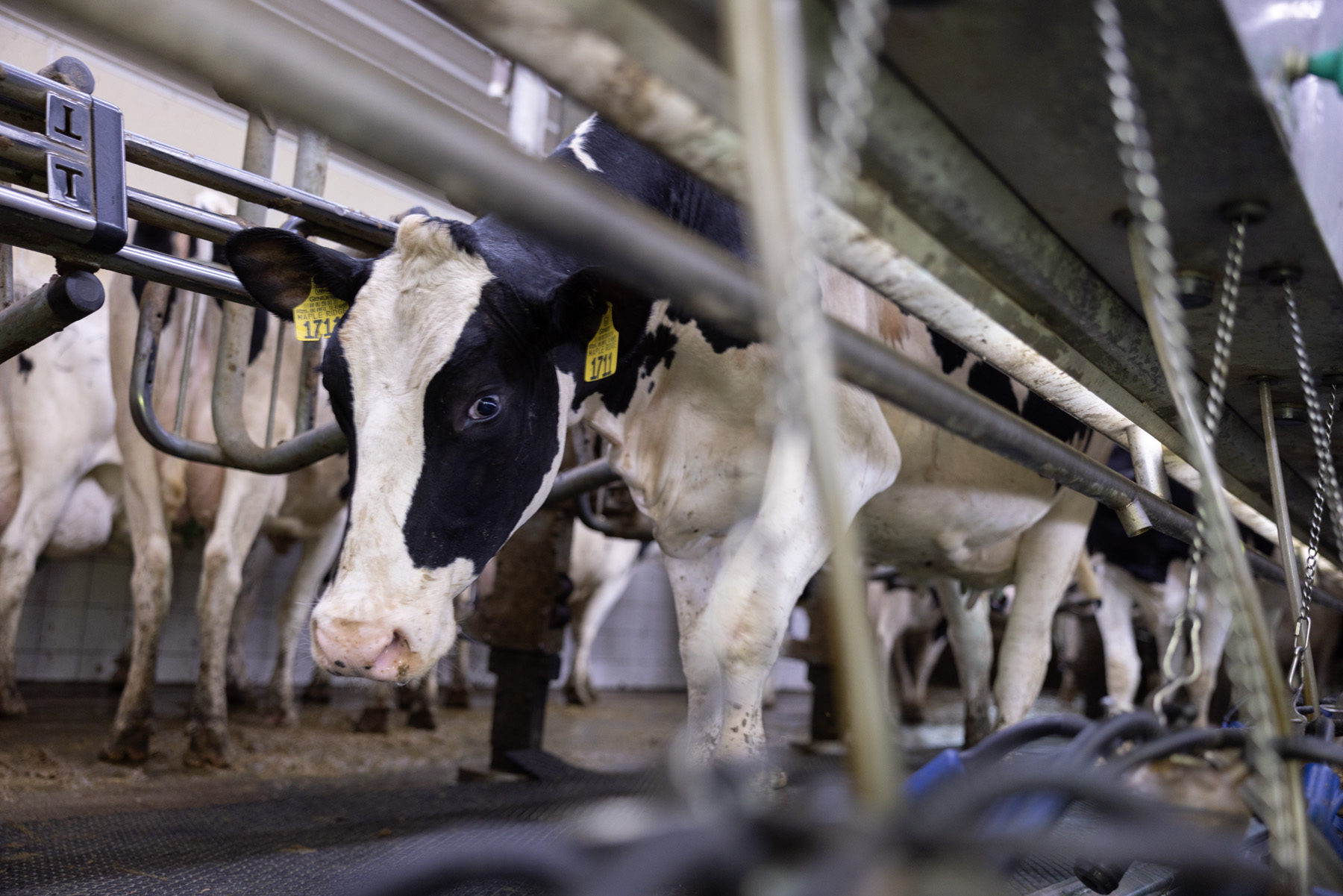
Recent outbreaks of highly pathogenic avian influenza (HPAI) in U.S. poultry flocks highlight the importance of biosecurity measures in limiting the spread of infectious disease in livestock production, diseases that can potentially cross into humans.
To help producers increase preparedness and maintain continuity of business during a disease response, staff at the National Farm Medicine Center, Marshfield Clinic Research Institute, have led development of PremisesMapper, a free, web-based biosecurity premises mapping tool.
Biosecurity is another way of saying “infectious disease control,” and refers to everything done to keep diseases and the things that cause them (viruses, bacteria, funguses, parasites and other organisms) away from animals, property and the people that may interact with them.
A “premises map” is an aerial, visual representation of a specific property, including its boundaries, structures and key features. Premises maps typically depict perimeter buffer areas, lines of separation, access points, cleaning and disinfecting stations, and carcass removal pathways, among other features relevant to facility biosecurity.
The Wisconsin Department of Agriculture, Trade, and Consumer Protection (DATCP) Division of Animal Health served as a key stakeholder and advisor in the tool development process.
“In the event of a disease response, many livestock producers are required to submit a premises map to their state animal health office as a part of their biosecurity plan,” said Kurt Grajkowski, emergency services coordinator with DATCP. Creating a biosecurity plan and premises map prior to disease outbreak can expedite response efforts and limit negative impacts on producer operations.
Existing guides for creating biosecurity plan premises maps recommend using a combination of Google Earth, screen shot capabilities, and Microsoft Word, or else drawing the map by hand using colored pencils, markers or crayons.
“This tool facilitates development of maps for producers and streamlines the transfer of maps to state officials and emergency response personnel,” said Jakob Hanschu, PremisesMapper product manager. PremisesMapper allows users to place icons, draw lines and shapes, and add key information. All symbology is aligned with existing premises mapping guidelines. A key development feature of PremisesMapper is a step-by-step guide that walks producers through all of the elements that they should include to ensure the development of complete, accurate maps.
PremisesMapper was soft-launched in March and received positive user feedback. Testimonials indicate that the tool is increasing the efficiency of premises map development for state officials and producers responding to HPAI.
“It’s a definite time saver,” Grajkowski said. “We had some changes to one of our premises just the other day, and I was able to make the updates in a matter of minutes.”
To use PremisesMapper, go to this link and create a free account: https://rfdash.org/PremisesMapper/. All PremisesMapper information is securely stored on health system servers. After creating a map, producers can print it or download a PDF to integrate into their biosecurity plan. If you have questions about PremisesMapper, please contact Jakob Hanschu (jakob.hanschu@sanfordhealth.org).
For more information on biosecurity for producers, visit https://datcp.wi.gov/Pages/Programs_Services/BasicBiosecurity.aspx
###
A good premises mapping tool can aid biosecurity efforts
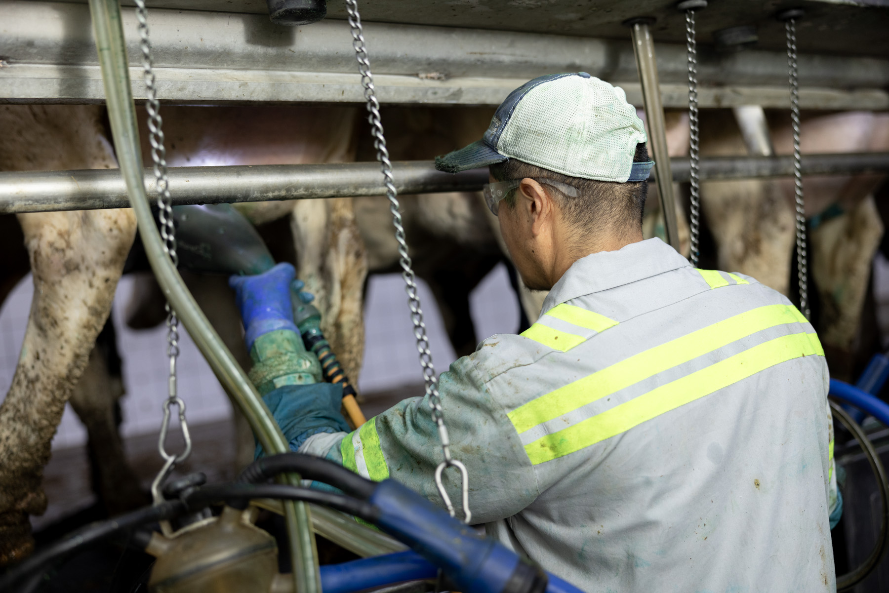
Biosecurity is a vital part of livestock production